
Thirty-five miles from Boston. Anything but common.
Six miles of barrier beach, the bay behind America's best-known oysters, four centuries of shipwrights and settlers. Plus the guides, history, and town know-how to match. An independent, resident-made guide to Duxbury.
Right now in Duxbury.
Predictions, not observationsTHE MOVE RIGHT NOW
TONIGHT
NOAA station 8446166 predictions · sunset from solar equations · air, wind & water modeled by Open-Meteo · tide chart · the flats · sunsets

Read this month.
October on the shelf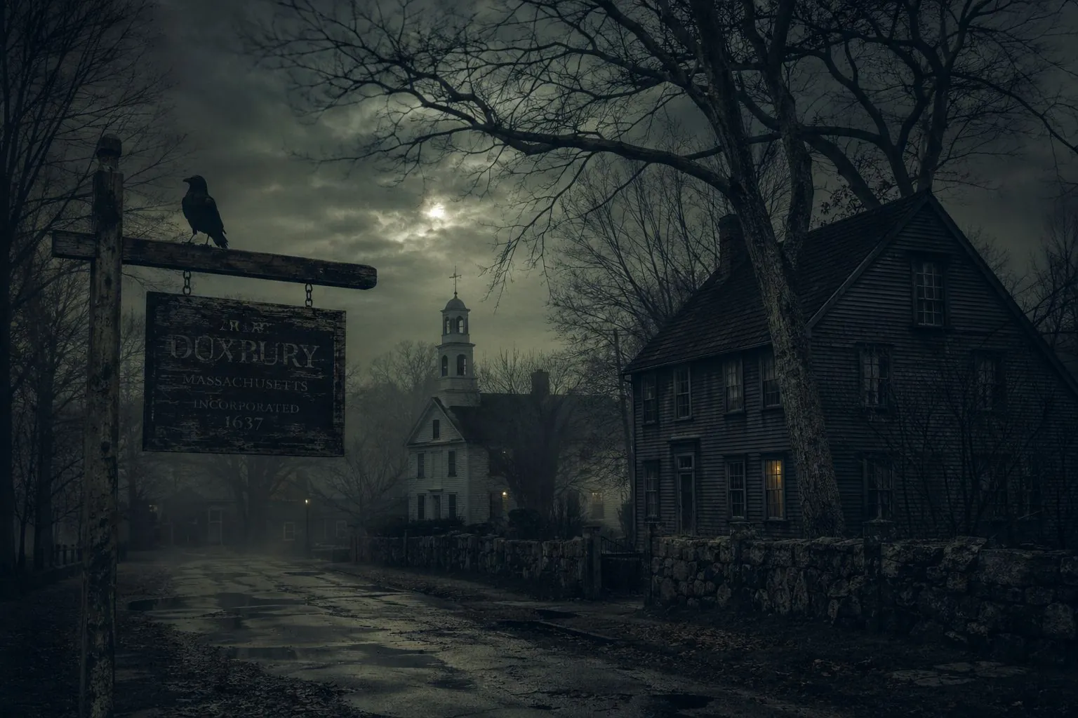
The stories that refuse to die.
A senator sworn to silence by something in the bay. A minister buried under carved tentacles. A captain whose grave was opened three times. Duxbury's legends, each one followed by what the record actually shows.
Read the folklore →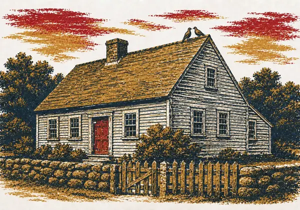
Famous, for a town this size
Compact signers, a Salem fugitive, the Silent Spring letter, and the guitarist from Aerosmith.
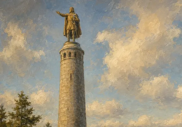
The Monument, head and all
A 26-year build, the 1922 lightning bolt that took the captain's head, and when you can climb the 125 steps.
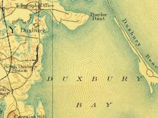
Then & now
Eight stops, 1885 to today, on one slider. Watch the bridge appear.
Everything here starts with the bay.
The barrier beach shields it. The oyster flats fill it. The Powder Point Bridge crosses it. Learn the geography and the town makes sense: the villages, the bogs, and why 83% of residents named the beach the town's greatest asset in the Envision Duxbury master-plan survey.
Four centuries of dated stories, from the Pilgrim farms to the bridge fight. The whole story →
The town keeps more stories than it tells…
Know your town.
The eight sections
Things to do
The beach, the trails, the monument, the bridge at golden hour, plus the right way to spend a Saturday here.
02
Eat & drink
Where locals actually eat, and why Duxbury oysters ended up on menus from Boston to Tokyo.
03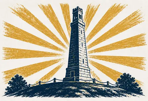
History & heritage
Plymouth Colony's second town. Twenty shipyards. The Aldens, the Westons, and the courtship of Myles Standish.
04
Live local
Plain-English guides to beach stickers, dog permits, transfer station passes, and every form Town Hall can throw at you.
05
Newcomer's guide
Just moved, or thinking about it? Schools, neighborhoods, and the unwritten rules, from someone who lives here.
06
News briefs
Short, sourced takes on town happenings, each pointing you to the original coverage. The bridge fight, beach notices, and more.
07
Stars
Eclipses, meteor showers, and the constellations over the bay this month, plus a horoscope with a South Shore accent.
08
Tides
Day-by-day highs and lows from NOAA's Duxbury Harbor station, with king tides flagged and moon phases marked.