
The living chart.
The whole town on one sheet: the landmarks, the legends, the villages, the walks, and now the places that are gone, each pinned where it belongs. Tap a marker and it tells you its story, then points you to the full page. Not for navigation. Excellent for wandering. Prefer a list you can scan or search? There's a plain-text gazetteer of the same 38 entries.
A stylized chart of Duxbury Bay · Soundings in feet · Not for navigation · Landmarks gold · Legends red · Villages slate · Walks green

Things to do
The beach, the bridge, the monument, and the right way to spend a Saturday here.

Duxbury walks
North Hill Marsh, Bay Farm, Round Pond, the bog trails, and the bridge: the best walks in town.
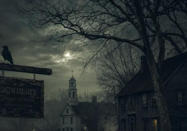
Folklore
The sea serpent, the tentacled gravestone, and the rest of the town's legends, actually told.