
Walk the flats.
At a good low tide, Duxbury Bay drains into a half mile of hard sand you can walk straight out onto. This page answers the only question that matters before you go: is today one of those days, and when? Windows are built from NOAA's predictions for Duxbury Harbor, the same numbers behind our tide chart.
LAST UPDATED: OCTOBER 1, 2026 · NOAA STATION 8446166 · TIMES LOCAL
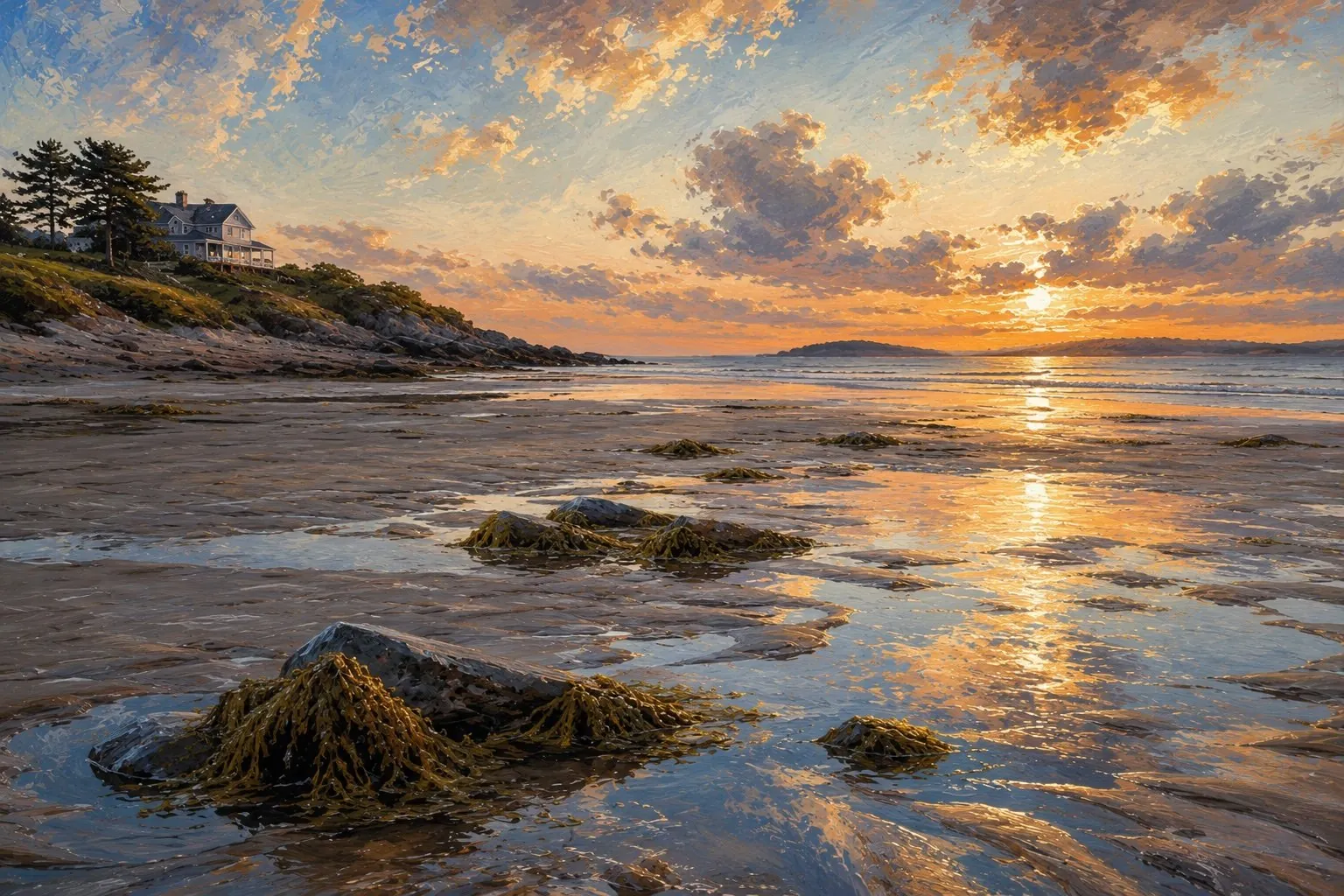 Low water on the bay · Duxbury Uncommon illustration
Today on the flats
Loading today's tide… If this message sticks around, the data file didn't load; the tide chart has the full month.
The next seven days
How to read this
The walkable window runs from about ninety minutes before low water to ninety minutes after it. That is a deliberately conservative cut of the roughly six-hour fall and rise, because the last of the ebb and the first of the flood move slowly, and the middle hours move fast. How far out the sand goes depends on the height of the low. A minus tide, below the zero line on the chart, is the full show: bars, channels, and acres of ribbed sand. A low around a foot is still a fine walk. Much above two feet and you are mostly looking at wet ankles near shore.
Each day shows its best daylight low. Some of the deepest lows of the month land before dawn or after dark; the chart notes when that happens, and headlamp trips are between you and your judgment.
Rules of the sand
Three things locals will tell you, in order of importance. First, the tide comes back faster than it went out, and it fills the low channels behind you before it covers the bar you are standing on. Keep track of the time and start walking in when the window closes, not when the water reaches you. Second, parts of the bay bottom are soft; if the sand starts taking your foot past the ankle, pick a different line. Third, the shellfish beds are real and regulated. Look all you want, but digging or taking anything requires a town shellfish permit, and some areas are leased grants or closed beds. The permit guide covers where licenses come from.

Tides
The month's full tide chart for Duxbury Harbor: every high and low, king tides flagged, moon phases marked.
The beach guide
How the beach actually works: parking, stickers, dog rules, closures, and driving on the sand.
Sunsets from the bridge
Sunset times and the state of the tide under the bridge, every evening ahead.