
Sunsets, graded.
Every clear evening the Powder Point Bridge puts on one of two shows, and the tide decides which. High water at sunset turns the bay into a mirror with a plank walkway across it. Low water turns it to bronze: wet flats, standing birds, channels full of sky. Both are worth the walk, but they are different walks. Below, every evening ahead with its sunset time, where on the horizon the sun goes down, and exactly what the tide will be doing under your feet.
How to read it
Four grades, from a full bay to an empty one. Each card below is what you'll actually find at the bridge, and what the evening is good for.
What you'll see
Still water to the horizon, the marsh brimming, the bridge doubled in reflection.
Good for
The classic photograph. A ★ means high water lands within 45 minutes of sunset, the stillest combination there is.
What you'll see
The bay mostly full and still moving, flood or ebb, current seams catching the light.
Good for
A quieter version of Mirror: texture on the water instead of glass.
What you'll see
Channels, exposed edges, water visibly on its way somewhere.
Good for
Watching the bay change while you stand there. Less photogenic, more honest.
What you'll see
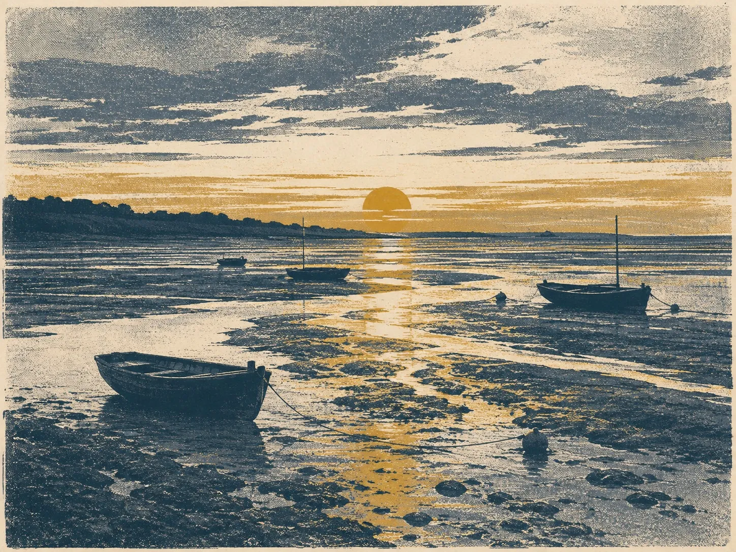
Acres of wet sand lit gold, standing birds, boats resting on the mud.
Good for
Walking out onto the flats themselves. Bring the flats page and watch the clock.
Loading the evenings ahead from the tide data…
Sunset from NOAA solar equations for the bridge · Tide from NOAA station 8446166 predictions · Times local
The sun's setting point swings farther through the year than most people expect: from about 238 degrees, over Kingston Bay to the southwest, at the winter solstice, out to about 303 degrees, up past the marshes to the northwest, at the summer solstice. In summer it sets over the Back River marshes; in winter it sets down the bay. The bridge faces both.
This page computes itself from the same NOAA tide predictions that drive the tide chart and the flats page, so it always shows as far ahead as the loaded data reaches, and refreshes when the tide data does each month.
The tide chart
This month's highs and lows, king tides, and moon phases for Duxbury Bay.
Walk the flats
When the bay empties and how long the sand stays open, day by day.
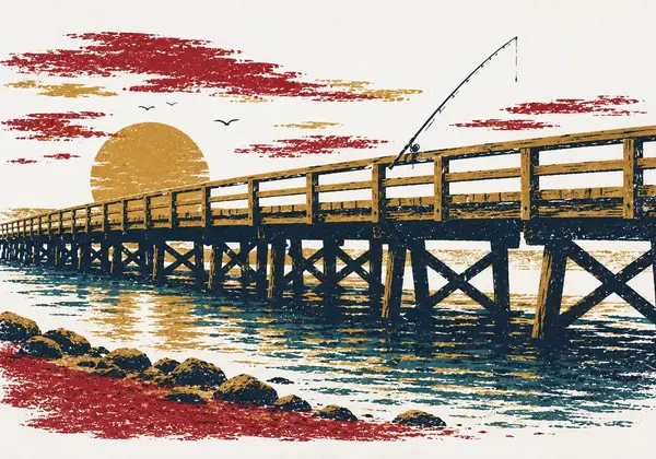
The Powder Point Bridge
A history of the Long Bridge, from a draw for tall vessels to the current battle over concrete.